#4 Zoo Hill Complex <= #5 Summit South Complex => #6 Summit from the north
As we continue to work our way to the west, our next hill is the very uncreatively-named “Summit”. We will continue the theme of climbing the same damn hill three times, but there will be a nice descent when we’re finished.
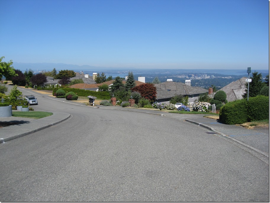
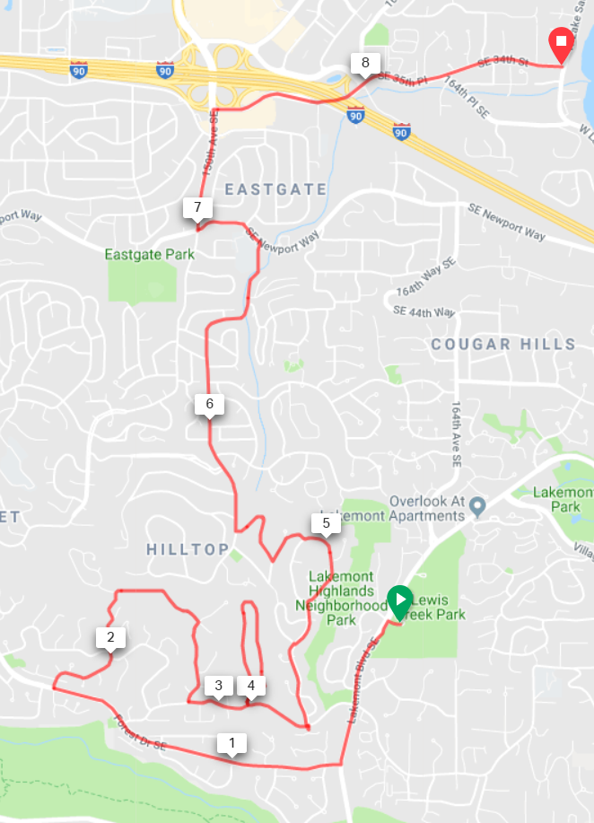
Turning left out of Lewis Creek Part, we descend for about half a mile and turn right on Forest Drive. This road is a great descent, but pay attention; we need to turn right after 1 mile onto 142nd Ave SE. Aka “The Widowmaker”. The road will wind around as it climbs and oscillates from steep to really damn steep. It will eventually turn right and the gradient will ease. Continue straight until the road ends, take the connector path, then turn right at your next opportunity and descend back down. At the stop sign, turn left.
Turn left into “West Summit”, and climb straight up, follow the road as it turns right and loops back down. Turn left and exit down the way we came in, and turn left at the entrance.
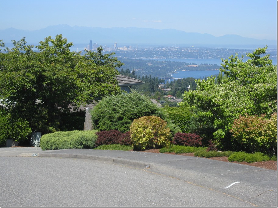
After a short steep section, turn left at the entrance shack into “Summit”. This road is undulating; hard/easier, harder/easier, hardest/easier. When you hit the stop sign, turn right and climb up until the road crests. There are some decent views to the north here, but they aren’t as good as Pinacles or Belvedere. Ho Hum.
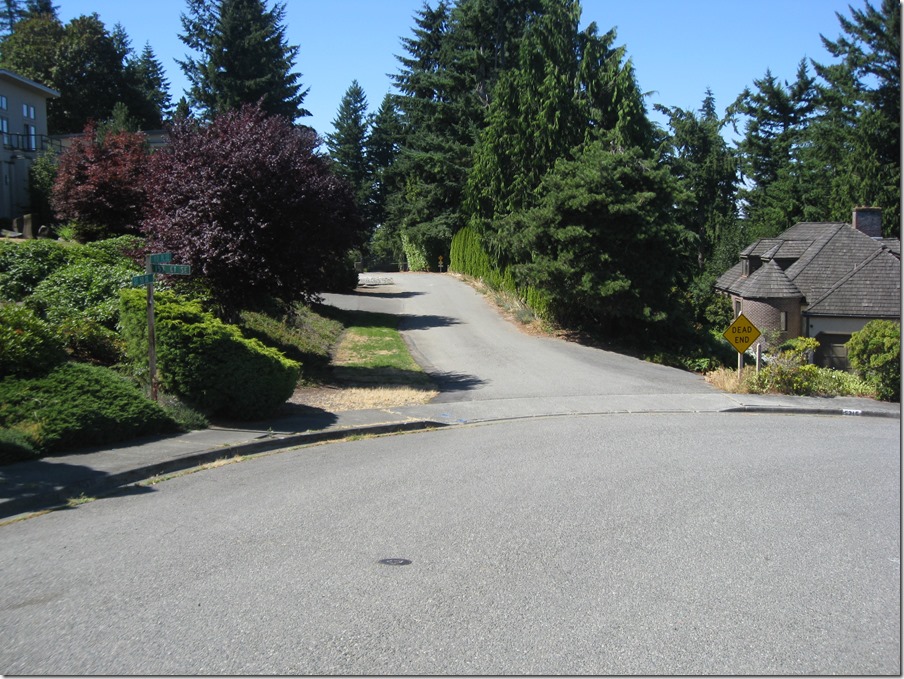
Continue straight and take the first right, then look for a “Dead end” emergency vehicle access road on the left.
This will take you to a gate that you’ll need to carry your bike around. Turn right at the next two intersections and you’ll be on a nice straight descent to the north. The Sufferin’ Summits road crews have been hard at work repaving this section, so the pavement is exquisite. You will ride the road all the way down to the stop sign on Newport; turn left and then take a right at the light on 148th. At the next stoplight, you’ll be in Eastgate, with a gas station (food & water) on the right. There’s also a Safeway in the same complex. You will definitely want food and water for the next section.
Turn right onto 148th (well, 150th now), and immediately turn right on SE 37th. This will take you under the freeway, through a stop sign , and then right again onto 164th Pl SE, which takes you all the way down to the shores of Lake Sammamish, the lowest point of the ride and the perfect spot to start our next climb.
1105’, 8.6 miles.


Did a hill training ride last Sunday and did most of what you’ve posted and I threw in the 142nd climb early off your bicycle climbs site without knowing it would end up part of this course. I’ve got new low gears on one of my bikes and it helped me get up that nasty pitch. I appreciate the previews of the route since I can both learn it and use it for training. 🙂